MAIN BESKID TRAIL – stage no. 3 Mraźnica - PTTK Shelter Przysłop pod Baranią Górą
[ENG]
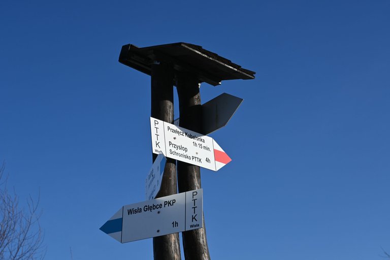
We started our next attempt at conquering the Main Beskid Trail with a train trip to Wisła Głębce, which is exactly where we ended our first trip. From the Vistula railway station, we first had to reach Mróznica, but it was not a long and demanding approach, because after only about an hour of walking through the outskirts of the Vistula and then through the forest, we reached the crossroads of the trails.
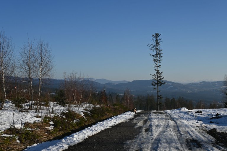
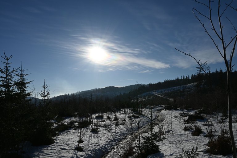
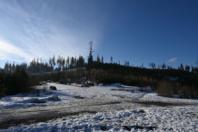
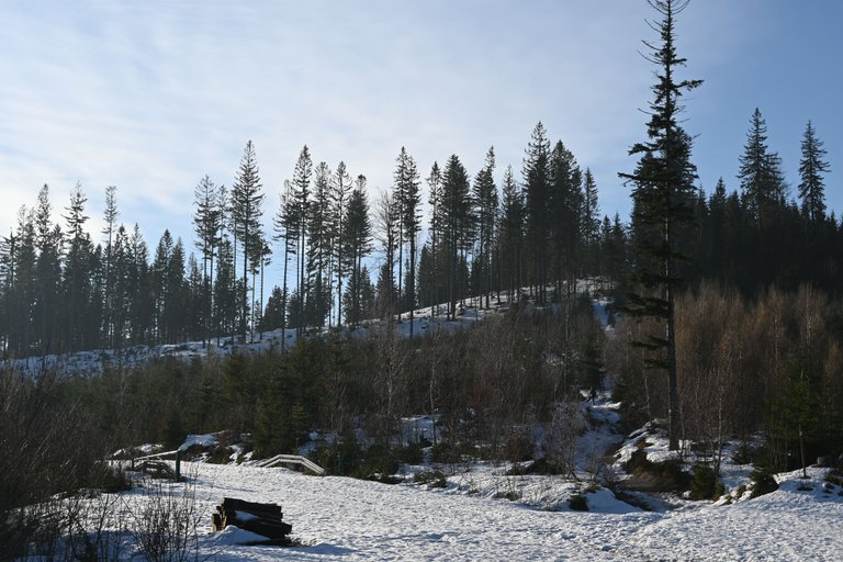
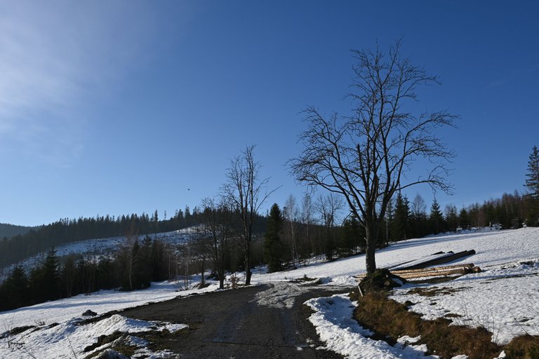
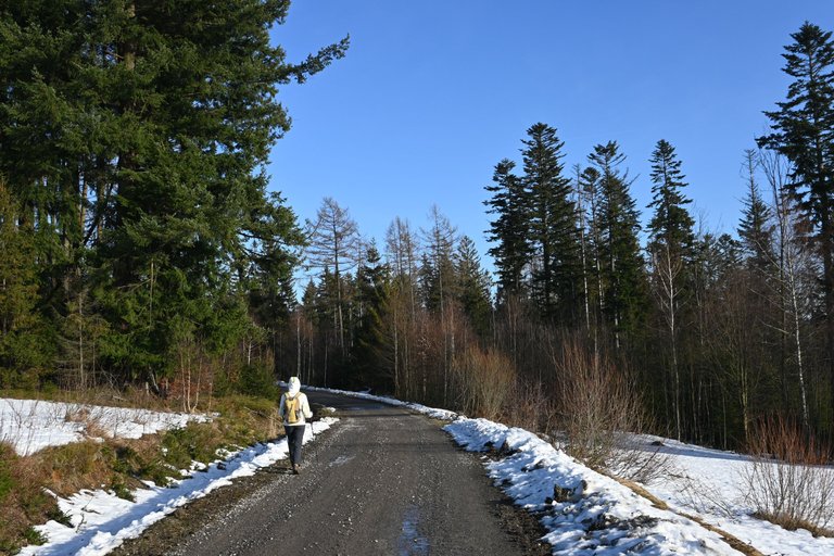
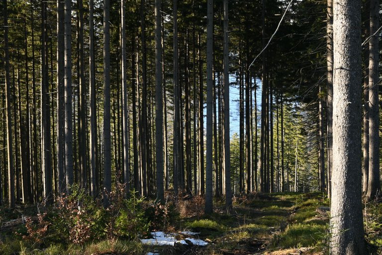
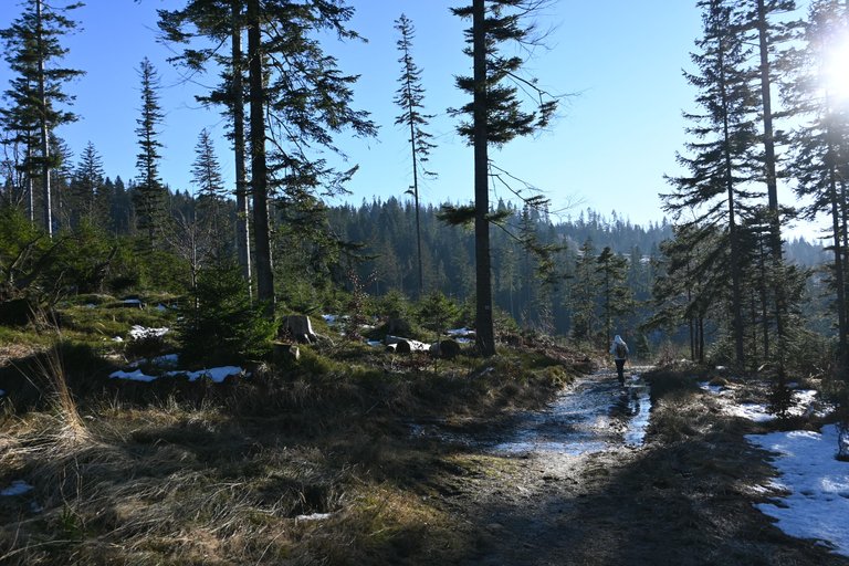
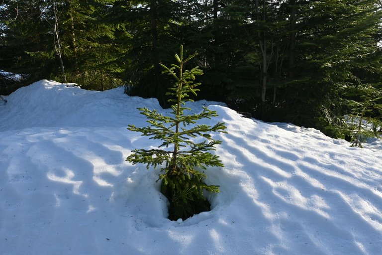
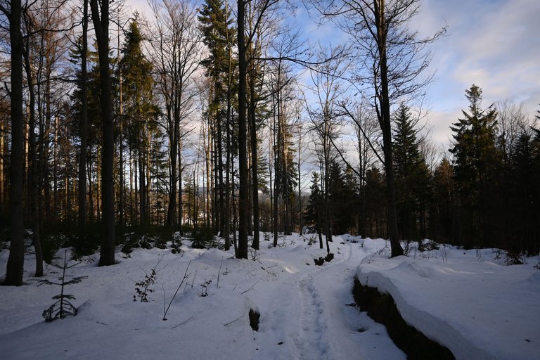
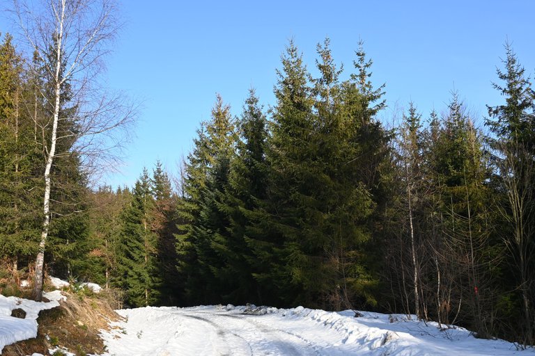
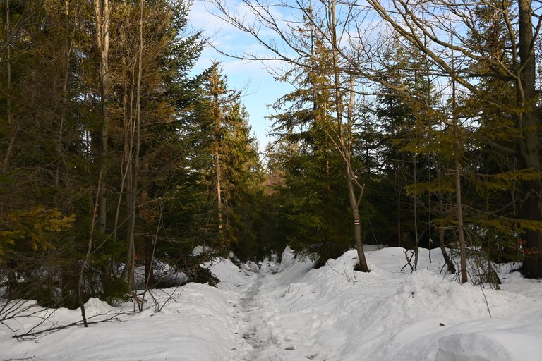
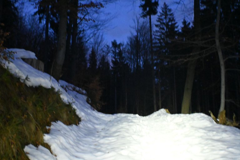
That day we had to walk 12.8 km along the trail, and since the weather was favorable, it looked like it was going to be quite a pleasant day, and that was how it started, but then things started to happen. The first kilometer led us along a dirt road, which was quite comfortable, but when we had to turn into the trees, it turned out that there were numerous traps in the form of puddles lurking under the rather thick layer of snow. One unfortunate step and the leg sank into the snow, only finding support in the icy water.
[PL]
Kolejne podejście do zdobywania Głównego Szlaku Beskidzkiego zaczęliśmy od wycieczki pociągiem do Wisły Głębce, czyli dokładnie tam gdzie zakończyliśmy naszą pierwszą wyprawę. Z Wisły z dworca kolejowego w pierwszej kolejności musieliśmy dotrzeć do Mraźnicy, ale nie było to długie i wymagające podejście, bo zaledwie po około godzinie marszu przez peryferia Wisły i później przez las dotarliśmy do skrzyżowania szlaków.
Tego dnia czekało na nas przejście 12,8 km po szlaku, a ponieważ pogoda sprzyjała zapowiadał się całkiem przyjemny dzień, no i początek taki był, ale później zaczęło się dziać. Pierwszy kilometr wiódł nas po drodze gruntowej, gdzie szło się dość wygodnie, ale gdy dalej musieliśmy skręcić pomiędzy drzewa okazało się że pod dość grubą warstwa śniegu czyhają liczne pułapki w postaci kałuż. Jeden niefortunny krok i noga zapadała się w śniegu, przy czym oparcie znajdowała dopiero w lodowatej wodzie.
[ENG]
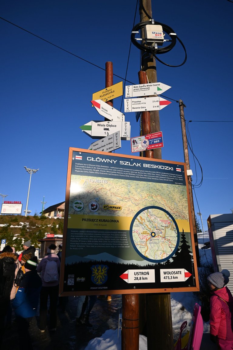
Our careful tread on the falling snow continued for several kilometers until we reached the Kubalonka Pass. Unfortunately, the place where we planned to take a break turned out to be very unpleasant. The pass, 758 meters above sea level, turned out to be densely built with tourist infrastructure of questionable quality. Some stalls selling sheepskins, next to a kebab stand, next to a grill with oscypek cheese and black pudding. There is also a network of cross-country trails on the Kubalonka Pass, which additionally generated tourist traffic. However, the largest object on the pass that cannot be missed is the Provincial Pediatric Center, built in the times of the Second Polish Republic. One might be tempted to call this hospital a pearl of modernist architecture in the Silesian Voivodeship.
[PL]
Nasze ostrożne stąpanie po zapadającym się śniegu trwało przez kilka kilometrów, do czasu aż dotarliśmy do Przełęczy Kubalonka. Niestety miejsce, w którym zaplanowaliśmy sobie przerwę, okazało się bardzo nieprzyjemne. Przełęcz licząca 758 metrów nad poziomem morza okazała się zwarcie zabudowana wątpliwej jakości infrastruktura turystyczna. Jakieś budki z owczymi skórami, obok budka z kebabem, obok grill z oscypkiem i kaszanką. Na przełęczy Kubalonka znajduje się także siec tras biegowych, co dodatkowo generowała ruch turystyczny. Jednak największym obiektem na przełęczy, którego nie sposób nie zauważyć to zbudowane jeszcze w czasach II RP Wojewódzkie Centrum Pediatrii. Można pokusić się o nazwanie tego szpitala perłą architektury modernizmu w województwie śląskim.
[ENG]
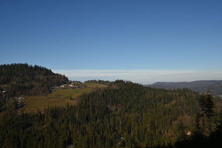
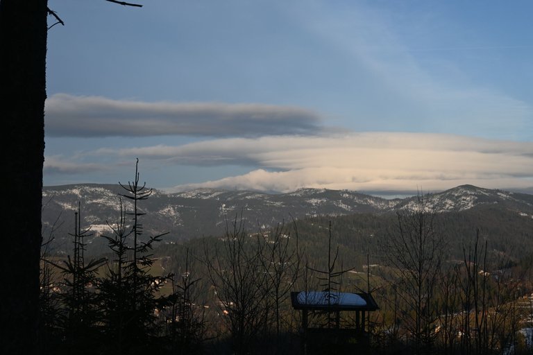
The next section of the route took us along a rather uninteresting section along the asphalt road connecting the Kubalonka Pass with the Szarcula Pass, from which our trail turned into the forest again. Just below the peak called Szarcula (803 meters above sea level) there was an observation tower, but the panorama from it was directed to the northeast, and since sunset was approaching, the views were not very picturesque.
[PL]
Dalszy odcinek trasy prowadził nas dość nieciekawym odcinkiem wzdłuż asfaltowej drogi łączącej Przełęcz Kubalonka z Przełęczą Szarcula, z której to nasz szlak znów skręcił w las. Tuż pod szczytem o nazwie Szarcula (803 metry nad poziomem morza) znajdowała się wieża widokowa jednak panorama z niej nakierowana była na północny wschód, a ponieważ zbliżał się zachód słońca, widoki nie były zbyt malownicze.
[ENG]
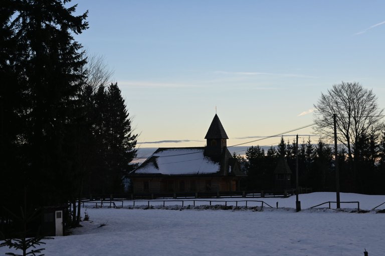
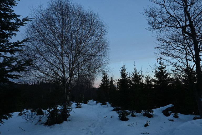
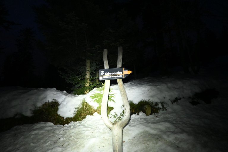
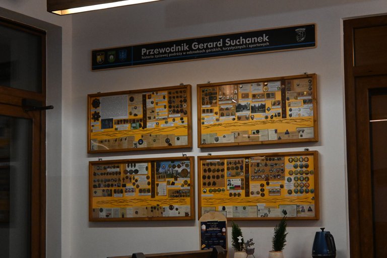
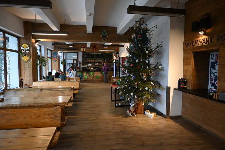
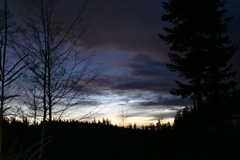
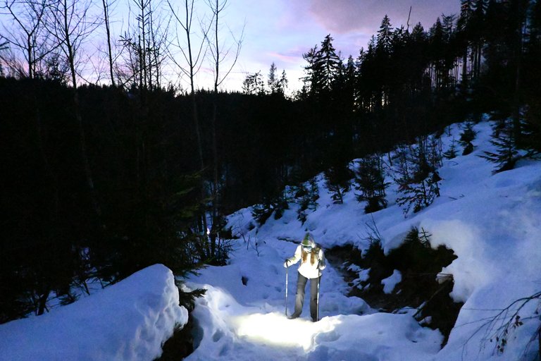
We covered the last kilometers along the road along Czarna Wisełka and after a direct approach to the Przysłop pod Barania Górą PTTK shelter after dark, which made the last hour of the walk a bit uncomfortable, but there's nothing you can do when it's this time of year and the night starts at 4 p.m. Fortunately, the Przysłop pod Barania Górą PTTK shelter turned out to be very cozy and warm, and the rooms were of a surprisingly high standard. Of all the shelters on the Main Beskid Trail visited so far, this seems to be the most modern one. The building was put into use in 1979, but the history of the first shelter built in this place by the Polish Tatra Society dates back to 1925. Since we had a lot of provisions in our backpack, we only tasted sour rye soup in the shelter kitchen and warmed up with mulled wine and beer. Later, we only had to spend the night because we had a long trip ahead of us the next day.
[PL]
Ostatnie kilometry wiodące po drodze wzdłuż Czarnej Wisełki i po bezpośrednim podejściu do Schroniska PTTK Przysłop pod Baranią Górą pokonywaliśmy już po zmroku, co trochę uprzykrzyło nam ostatnia godzinę marszu, no ale nic nie poradzisz gdy jest taka pora roku i noc zaczyna się już o godzinie 16. Całe szczęście Schronisko PTTK Przysłop pod Baranią Górą okazało się bardzo przytulne, ciepłe, a pokoje posiadały zaskakująco wysoki standard. Spośród wszystkich odwiedzonych do tej pory Schronisk na Głównym Szlaku Beskidzkim to wydaje mi się najbardziej nowoczesnym. Budynek został oddany do użytkowania w roku 1979, ale historia pierwszego schroniska zbudowanego w tym miejscu przez Polskie Towarzystwo Tatrzańskie sięga roku 1925. Ponieważ w plecaku mieliśmy bardzo dużo prowiantu to w schroniskowej kuchni zdegustowaliśmy sobie wyłącznie żurek, oraz rozgrzaliśmy się grzanym winem i piwem. Później czekał nas tylko nocleg, bo kolejnego dnia czekała nas długa wyprawa.
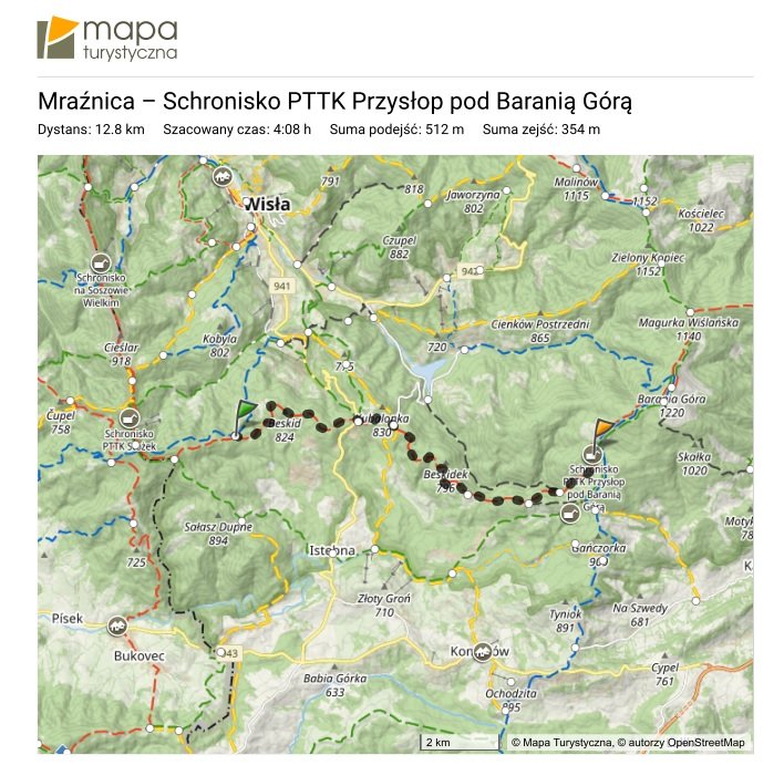
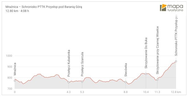
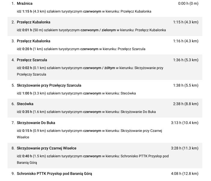
Stage no. 3 statistics:


Hello olusiu!
It's nice to let you know that your article will take 8th place.
Your post is among 15 Best articles voted 7 days ago by the @hive-lu | King Lucoin Curator by szejq
You receive 🎖 0.8 unique LUBEST tokens as a reward. You can support Lu world and your curator, then he and you will receive 10x more of the winning token. There is a buyout offer waiting for him on the stock exchange. All you need to do is reblog Daily Report 174 with your winnings.
Buy Lu on the Hive-Engine exchange | World of Lu created by szejq
STOPor to resume write a wordSTART